Reine, Lofoten Islands, Norway
05.26.2022
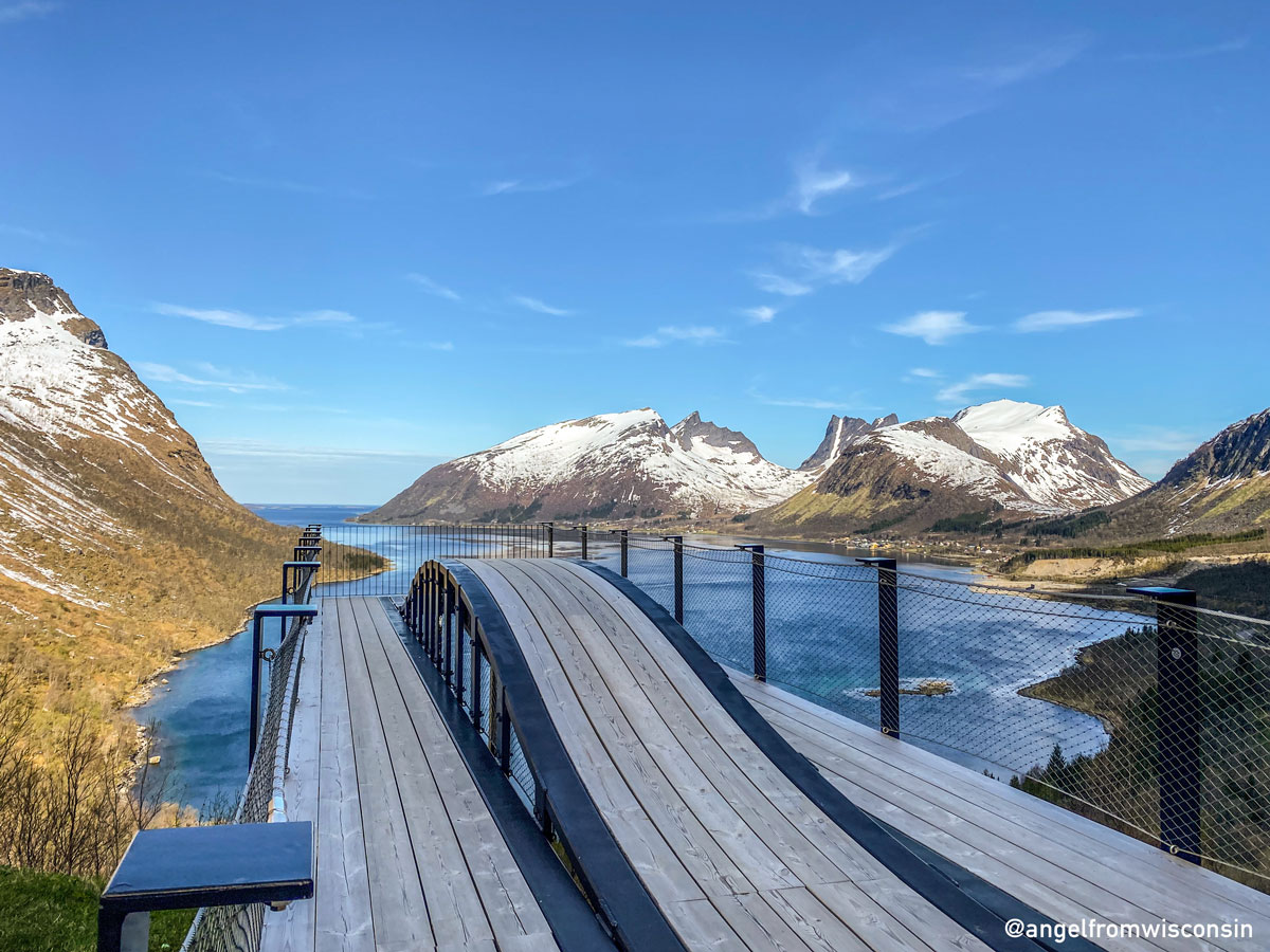
The Reinebringen hike was the crown jewel of our visit to Lofoten during our 12 day trip to Norway!
Helpful info:
Trailhead coordinates: 67°55’41.9″N 13°05’02.2”E
Length: 3.4 miles
Elevation gain: 2,293ft
Time: 3 hours
Official website: Visit Norway
Plan Ahead
We left our Air BnB in Svolvaer around 5am and drove the vacant E10 all the way to Reine, stopping a few times to ogle at the scenery and wildlife. The Reinebringen hike trailhead is at the intersection of E10 and the only road that takes you into the small fishing village of Reine and there are about 15 free parking spots up for grabs. At 7am we easily grabbed one of these spots. If you arrive later, there is a large metered parking lot in town with lots of signage on how to get to it. The walk through town will add around .5 miles of mostly flat walking to your hike.


Once you start hiking, you are walking between the coast and E10 until the road goes into a tunnel and you continue along the coast on a paved trail. The real hike begins when you reach the stone steps. From there it is a vertical climb up 1,600+ large stone steps that have been laid in place by Sherpas. The climb is dotted with stone benches, low vegetation, and a view of the ocean behind you but you will mostly spend your time looking at the steps in front of you. While the steps are wide, I’m certain we would not have had as good of a time if we went during a busy time. Passing others and meeting others on these steps wouldn’t be my idea of a great experience so, go early morning or during the midnight sun!


The Top
The view you are climbing to see only becomes visible once you reach the top of the ridge and can peer over the other side. The view really is stunning, as my travel companion put it; “it was like I was inside somebody else’s instagram.” At the top, it can be quite windy, there are no safety barriers to keep you from falling off the crest of the mountain, and the ground can be quite muddy if wet. So, be careful especially if you go during a crowded time. While most people don’t hike all the way to the trail terminus, you should hike farther up then the initial overlook so you can see down into Reinevatnet lake below.

When I researched this hike, I did not think it was going to be a challenge. After all it’s less than 4 miles long! It’s the stair climbing that will get to you both on the way up and the way down. We were well prepared but by the time we made it back to the bottom, we were starting to see the ill prepared start their ascent. Don’t show up in flat bottomed shoes, without water, wearing a cotton dress and expect to have a comfortable time.
Happy hiking!